Highlighted projects
Mapping and aligning road network in Taiwan
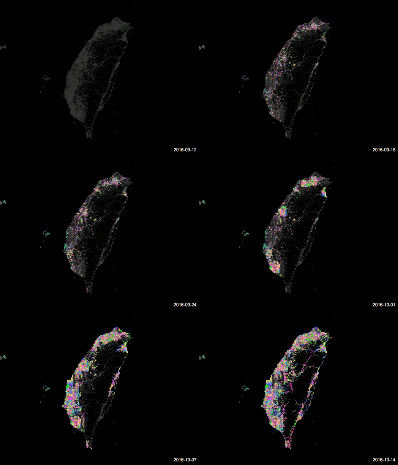
At the end of 2016, the members of the Data team were part of the road network mapping and alignment efforts in Taiwan, this work was carried out based on an OpenStreetMap data quality study in Taiwan with respect to the Satellite imagery. By running a comparison against Bing Imagery and available GPS traces like Strava Heat Map, in which a notable data offset of 15-20 meters was observed with respect to GPS traces.
With respect to data realignment, there have been some discussions on the Taiwan mailing list and members of Taiwan community have expressed their support in fixing these alignment problems.
The Data team has aligned 64,680 km of road network in Taiwan which forms the 54.4% of entire Taiwan road network. The overall project consisted of 43 tasking manager tasks covering 27,000 km² which is 74% of total area of the country.
The 6 cities where the aligning effort is concentrated are: Taipei, New Taipei, Hsinchu, Taichung, Yilan and Tainan.
