Highlighted projects
Housing passports
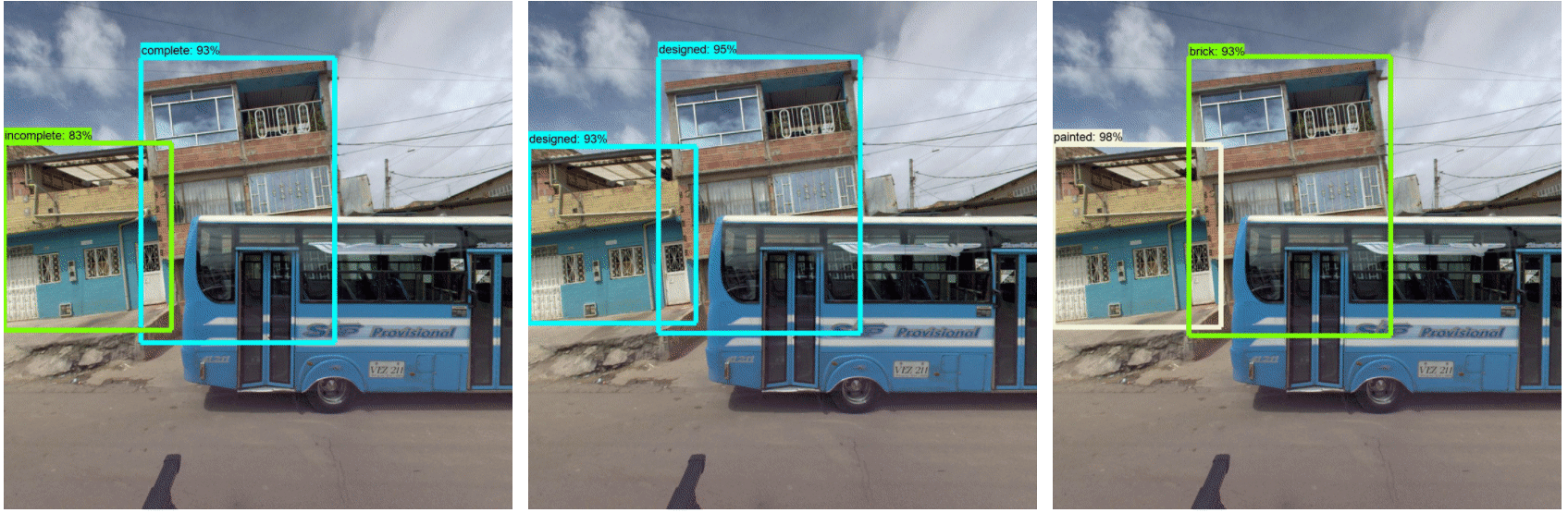
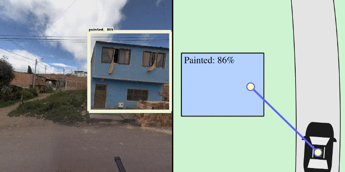
This project was to support the World Bank’s Global Program on Resilient Housing to find vulnerable housing, that are potentially dangerous during earthquakes or other disasters, in street view images using AI. You can always read more about Finding vulnerable housing in street view images using AI to create safer cities.
Development Seed's Data team generated training data, with a large and high-quality dataset, anyone can use that to develop ML models and find vulnerable houses faster/easier. For this, the Data team processed the Street View images collected by the World Bank, and then labeled the building properties and building parts focused on features that are relevant when assessing a building's resiliency. More details about the annotated features can be found in our guidelines for Housing Passport labeling.
Stats: The Data team labeled dataset for 8 cities in different countries such as; Colombia, Peru, Mexico, St. Maarten island and Saint Lucia, where we achieved the annotation of around 70k images among the buildings properties annotation and 4 types of building parts (window, door, garage, disaster mitigation).